Home / Services / Aerial Drone Photography & Video

Services

Aerial drone photos & video that show the whole story.

Lot lines, views, acreage and neighborhood amenities — the context buyers can’t see from the curb, captured from above.

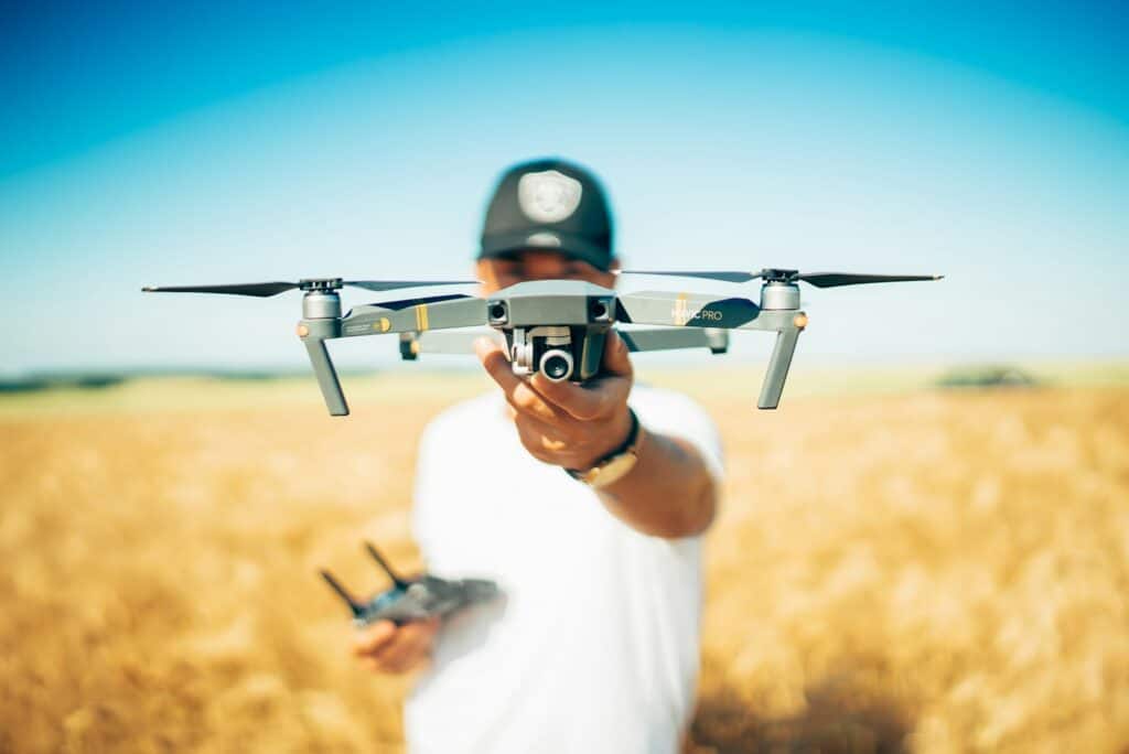
Drone pilot launching a drone
Aerial Drone Photography & Video

Some features only make sense from the air.

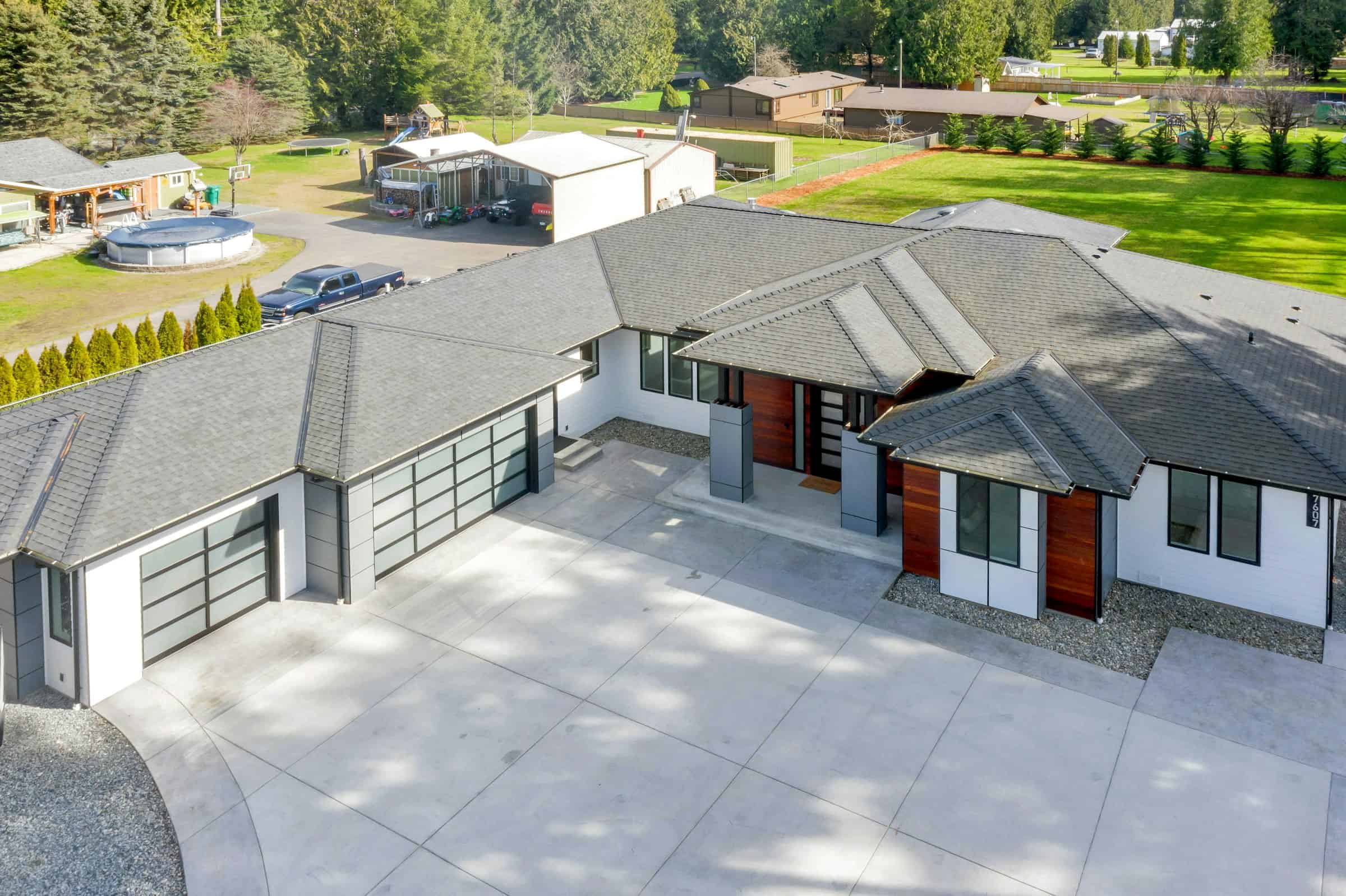
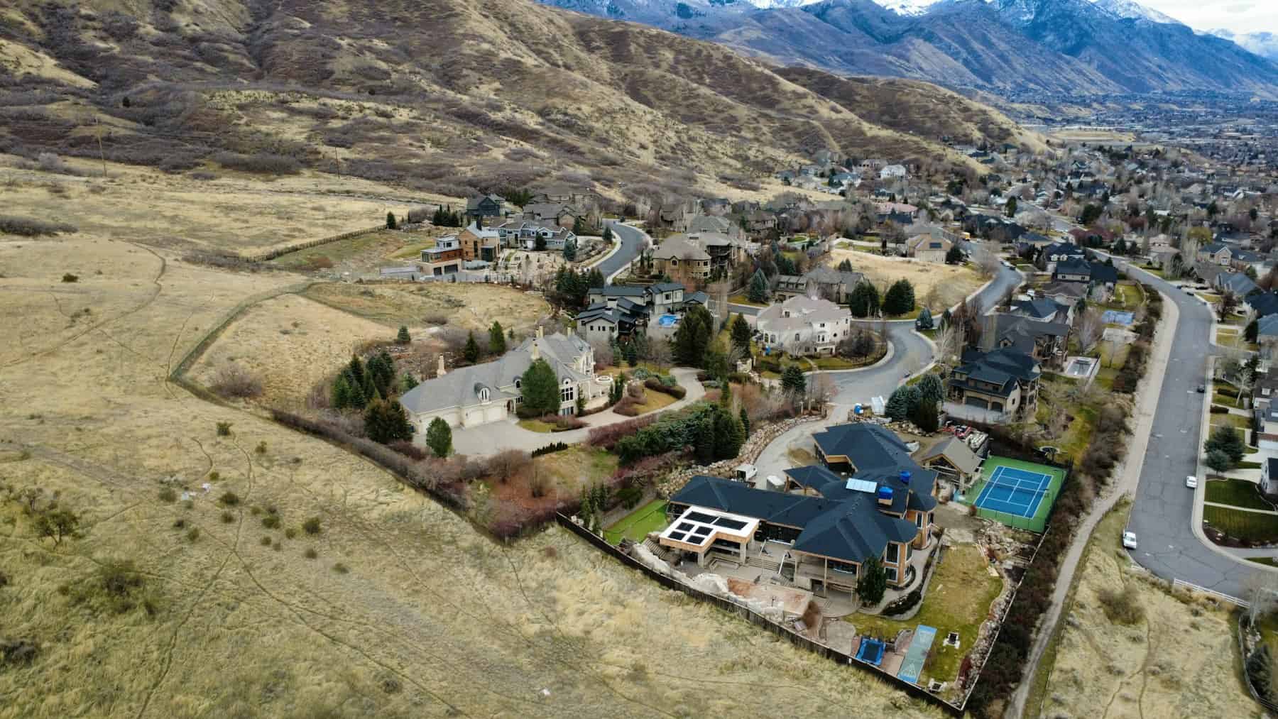
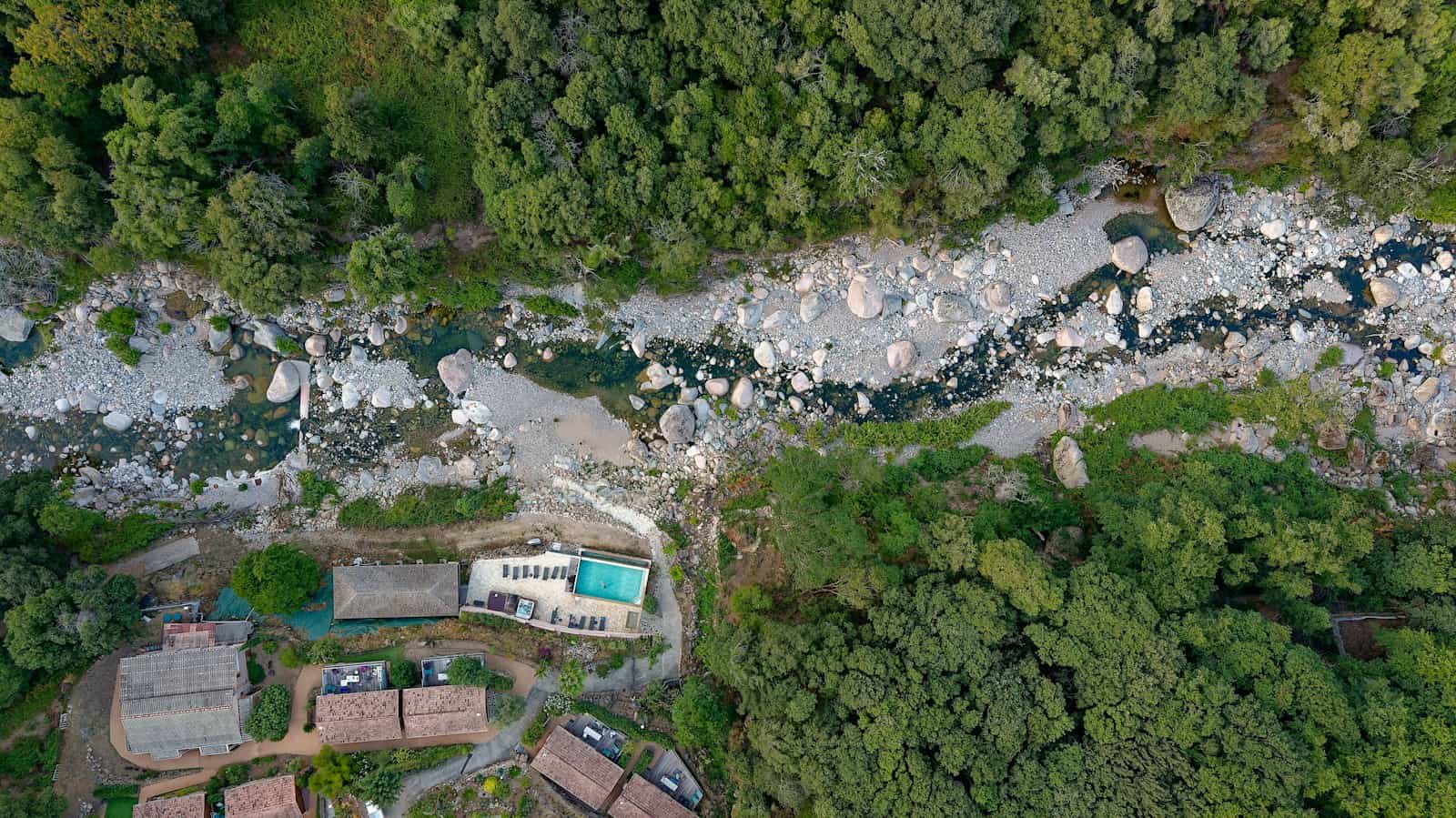
Large lots, waterfront access, pools, privacy and proximity to schools or downtown are hard to capture from the ground. A few well-planned aerial shots answer those questions instantly.

We check every address ahead of time for airspace and weather, fly safely, and deliver edited stills and video ready to add to your listing.

What’s included

Why it works

Built to help listings sell.

Context at a glance

Show the lot, the layout and what’s nearby in a single image.

Sell the setting

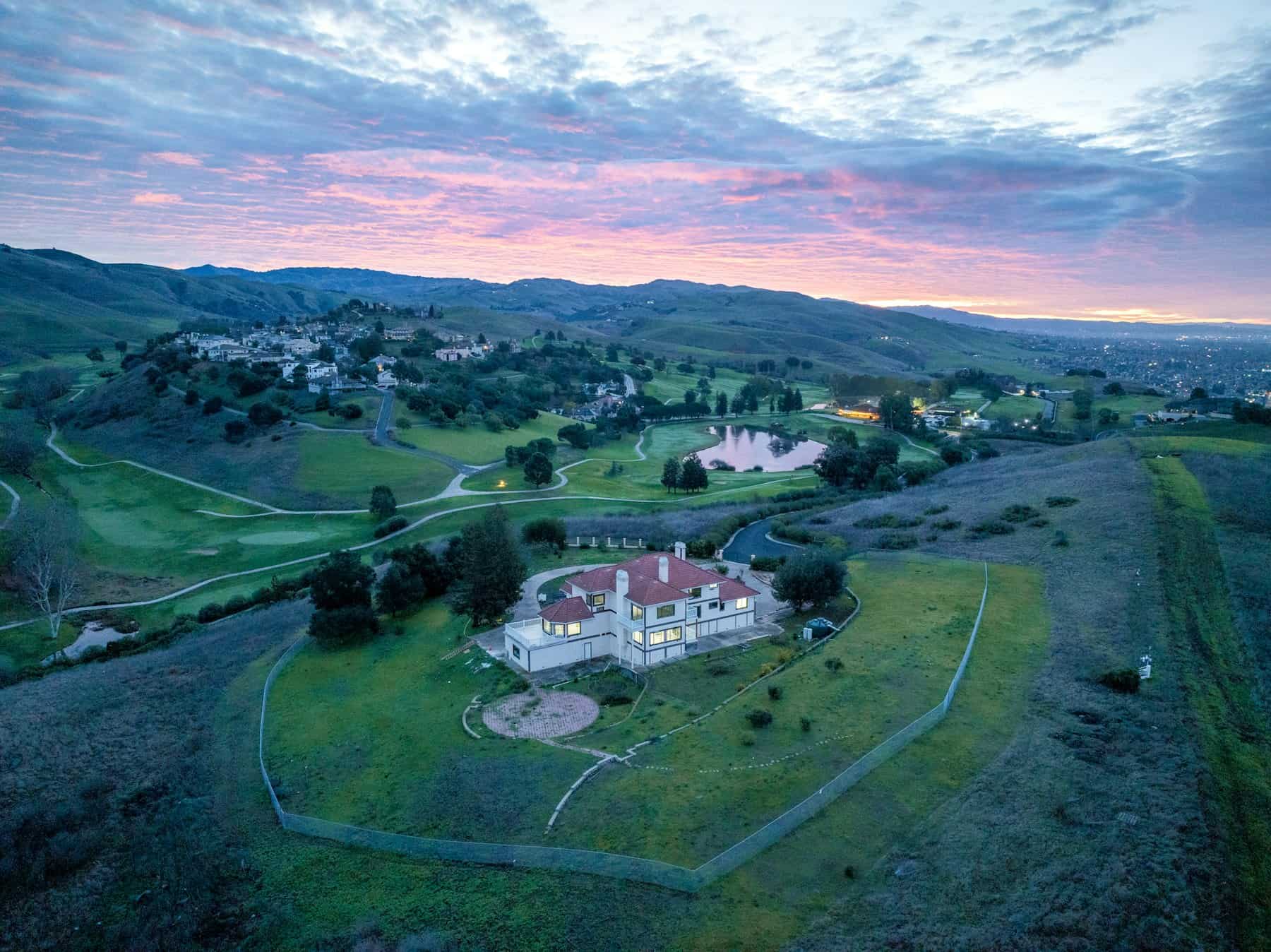
Lakes, golf courses, wooded acreage and views come to life from above.

Safe & planned

Airspace and weather are checked before every flight.

Examples

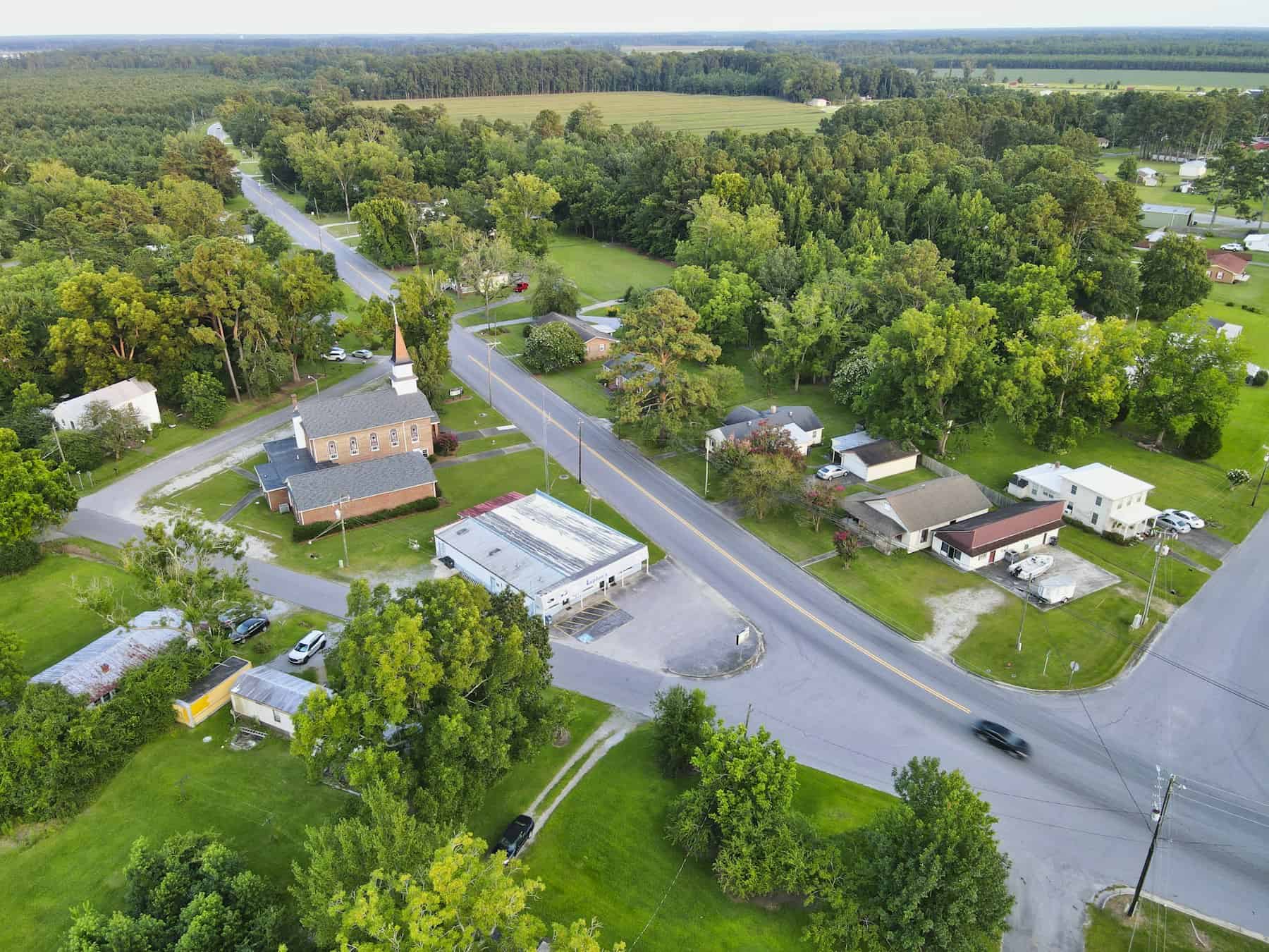
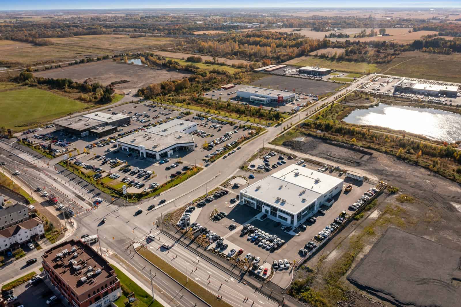
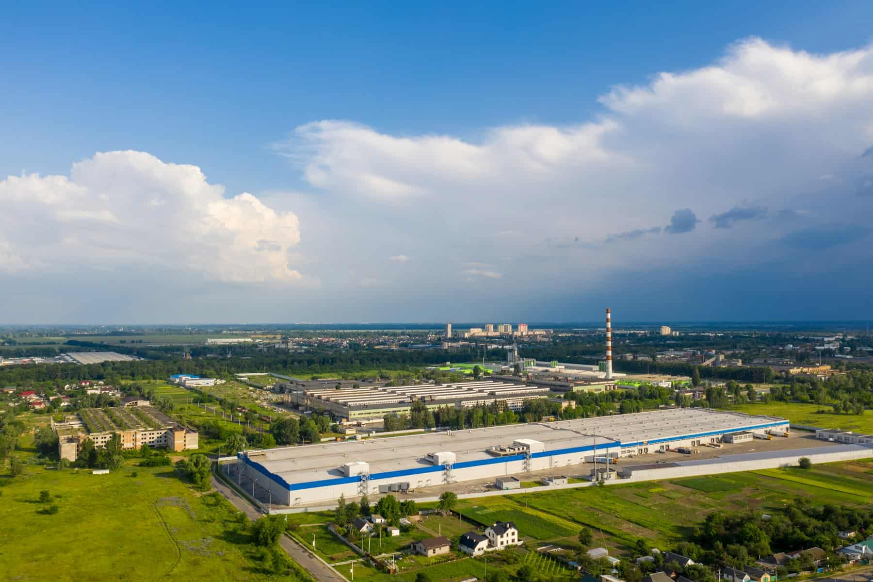
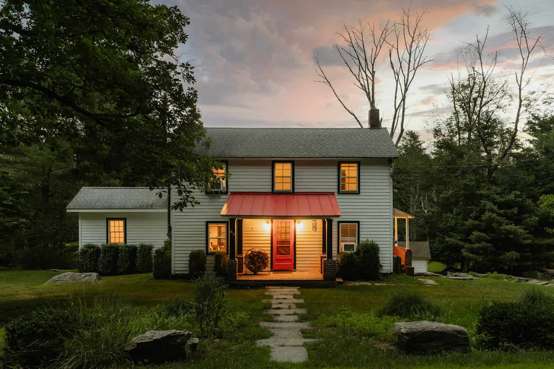
A look at the work.

Click any image to view it full size.

FAQ

Aerial Drone Photography & Video questions.

Still have a question? Call or text 205-365-6799 — we’re happy to talk through your property.

Most residential areas, yes. Locations near airports or other restricted airspace may need authorization or alternative angles — we check every address before the shoot and let you know.

Drones don’t fly in rain or high wind. If conditions aren’t safe, we’ll reschedule the aerial portion as soon as the weather clears.

Yes — we can add boundary outline graphics to aerial photos when you provide the plat or parcel information.

More services

Pair it with the rest of the package.

Ready when you are

Let’s get your next listing looking its best.

Tell us the address and the date you need it. We’ll take it from there.